Land Use Planning & Development • Squamish, British Columbia • 2025–Present
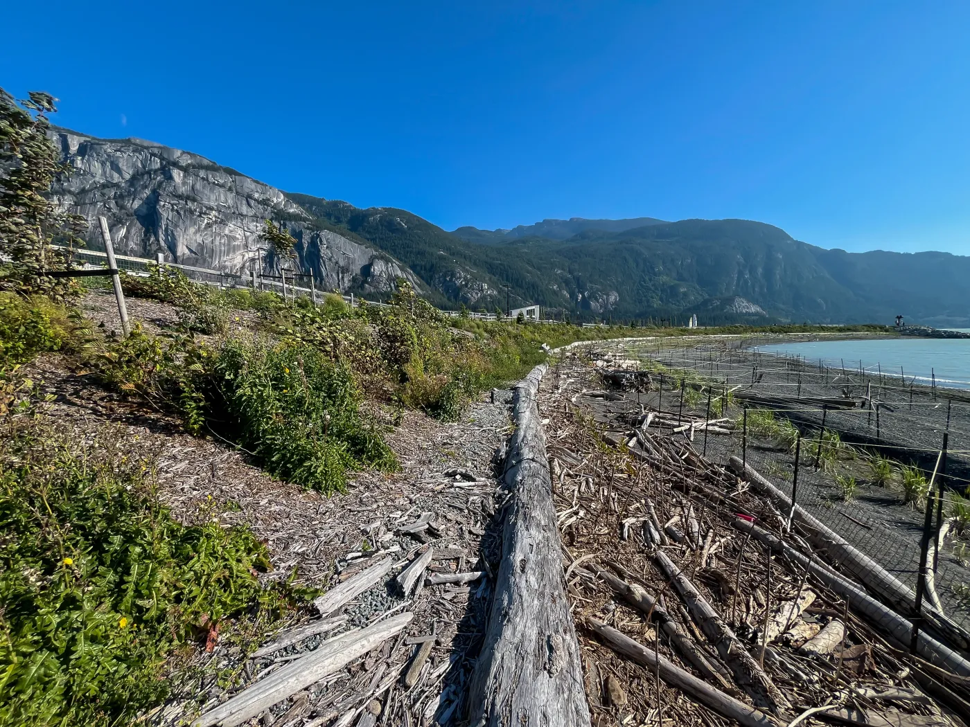
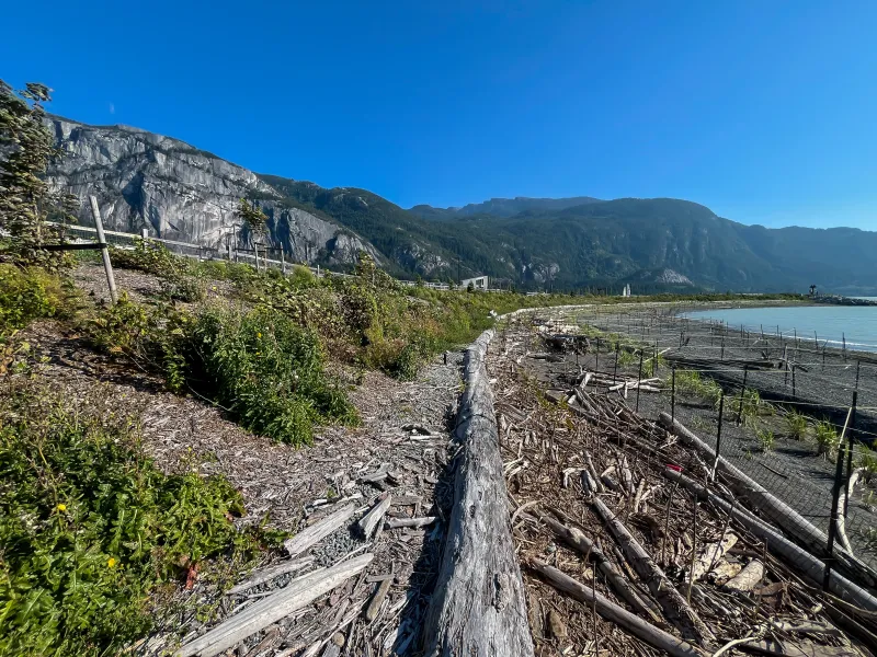
Oceanfront Squamish Development
Northwest Hydraulic Consultants and PSG Ocean are working together to support the development of the oceanfront peninsula in Squamish, a 100-acre master-planned community comprising residential, commercial, industrial, and green spaces.
-
Coastal Hazard & Risk Assessment
Galerie
Derniers projets
Voir tous les projets Emergency Management
Kitimat-Kitamaat Tsunami Model and Risk Assessment
The District of Kitimat, in partnership with the Haisla Nation, retained Ocean Networks Canada and PSG Ocean to collaboratively undertake a tsunami risk assessment for the communities and surrounding region.
View project
Emergency Management
Kitimat-Kitamaat Tsunami Model and Risk Assessment
The District of Kitimat, in partnership with the Haisla Nation, retained Ocean Networks Canada and PSG Ocean to collaboratively undertake a tsunami risk assessment for the communities and surrounding region.
Land Use Planning & Development
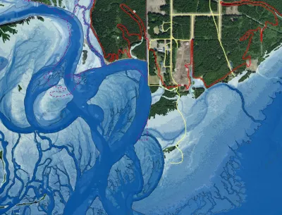
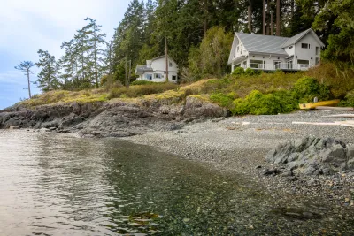
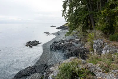
Flood Assessment for Subdivision Application
PSG Ocean was retained by a private owner to deliver a flood hazard assessment in support of regulatory approvals for the subdivision of an oceanfront property along the Juan de Fuca Strait within the Capital Regional District.
View project
Land Use Planning & Development
Flood Assessment for Subdivision Application
PSG Ocean was retained by a private owner to deliver a flood hazard assessment in support of regulatory approvals for the subdivision of an oceanfront property along the Juan de Fuca Strait within the Capital Regional District.
Land Use Planning & Development/Emergency Management
Regional Scale Flood Hazard Modelling and Mapping for the Isthmus of Chignecto
Natural Resources Canada, in collaboration with Ebbwater Consulting, PSG Ocean, and Concordia University, is advancing the development of a regional-scale, nationally consistent framework for flood hazard mapping.
View project
Land Use Planning & Development/Emergency Management
Regional Scale Flood Hazard Modelling and Mapping for the Isthmus of Chignecto
Natural Resources Canada, in collaboration with Ebbwater Consulting, PSG Ocean, and Concordia University, is advancing the development of a regional-scale, nationally consistent framework for flood hazard mapping.